In this blog post I’ll show you how to fix a problem I had with displaying the list of markers below a map. The table that lists the markers was formatted completely wrong. For me this problem came up with Maps Marker (Pro) but it can also happen if you embed Google Maps. I’m using … Continue reading Fix the display of maps marker lists in twentyfifteen
Tag: maps
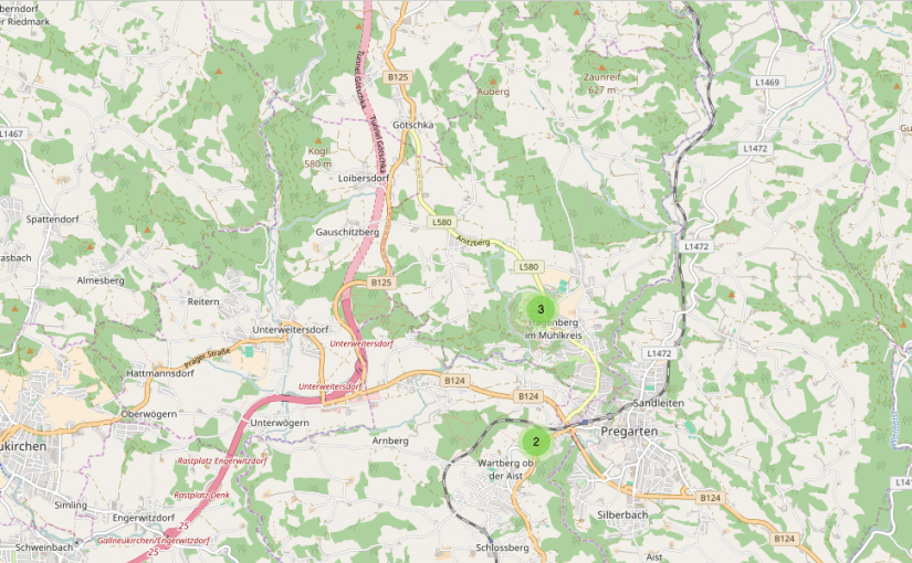
Karten in Blog Posts einfügen
Da ich Karten und GPS Daten sehr interessant finde, bastle ich gerne Karten und füge sie z.B. hier auf meinen Blog ein. Prinzipiell fallen mir 3 Möglichkeiten ein, Karten in Blog Posts einzubinden. Zu jeder dieser 3 Arten stelle ich euch ein konkretes Beispiel vor und erkläre euch die Vor- und Nachteile. Externe Karten einbinden: … Continue reading Karten in Blog Posts einfügen
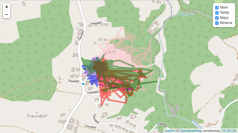
Cat tracking data collected with my Tractive GPS Pet Tracker
For about one year I have used the Tractive Pet Tracker to track my families (and my) cats, my grandmothers cats and our road trip to Sweden (German). Now I want to share that cat tracking data and some additional data with you. In this post I will Share the raw data with you Filter … Continue reading Cat tracking data collected with my Tractive GPS Pet Tracker
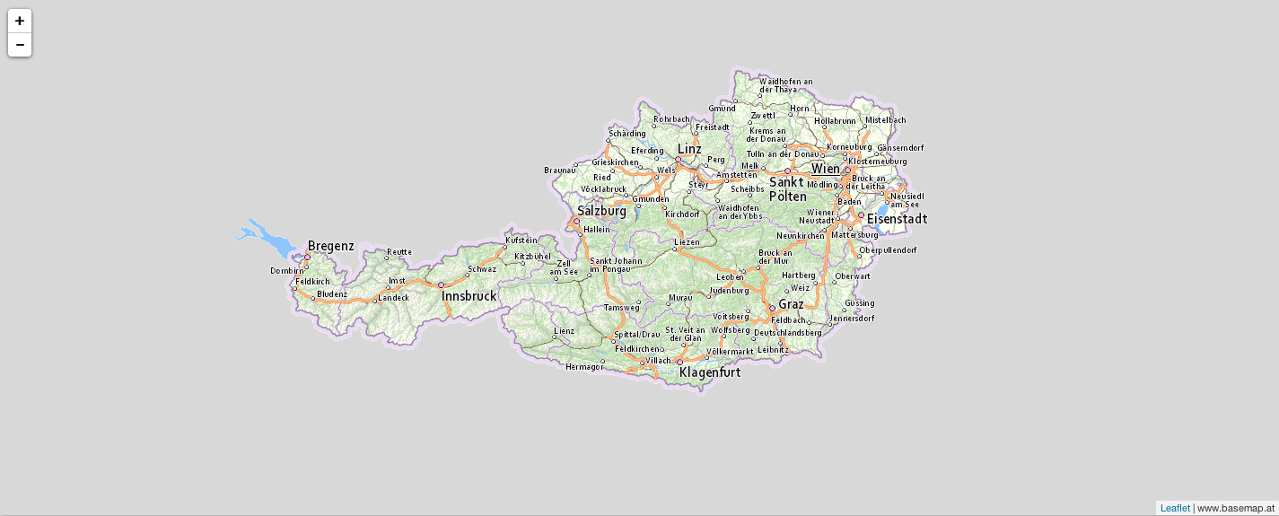
Adding basemap.at tiles to an R leaflet plot
Recently I wanted to visualise some data in a map of Austria. R Leaflet provides a pretty good looking map by default (openstreetmap.org) but I wanted to use basemap.at, which is a map for Austria and therefore probably the most accurate map available for Austria. Actually it is not very difficult but it was the … Continue reading Adding basemap.at tiles to an R leaflet plot